Memory as an Archipelago, Time as the Eraser, 2026
Memory as an Archipelago, Time as the Eraser was made for a venue that faces Manila Bay and stands on ground that used to be part of it. Oriente had first responded to the same water two years earlier with Untitled (14.5188° N, 120.7580° E), a floor lightbox whose colour followed weather data for the site.
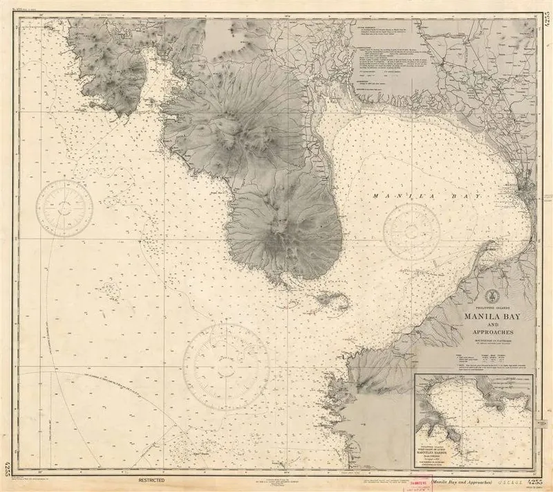
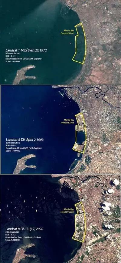
Reclamation keeps changing the shape of the bay, and the records of it do not agree with one another. Oriente put together her own archive: a 1944 nautical chart of Manila Bay from the US Coast and Geodetic Survey, Landsat imagery from 1972, 1993 and 2020 showing the expansion of the Manila Bay Freeport Zone, the GEBCO 2025 bathymetric grid, and spatial layers built in QGIS. Each is accurate to the survey that produced it, but placed side by side they describe different coastlines.
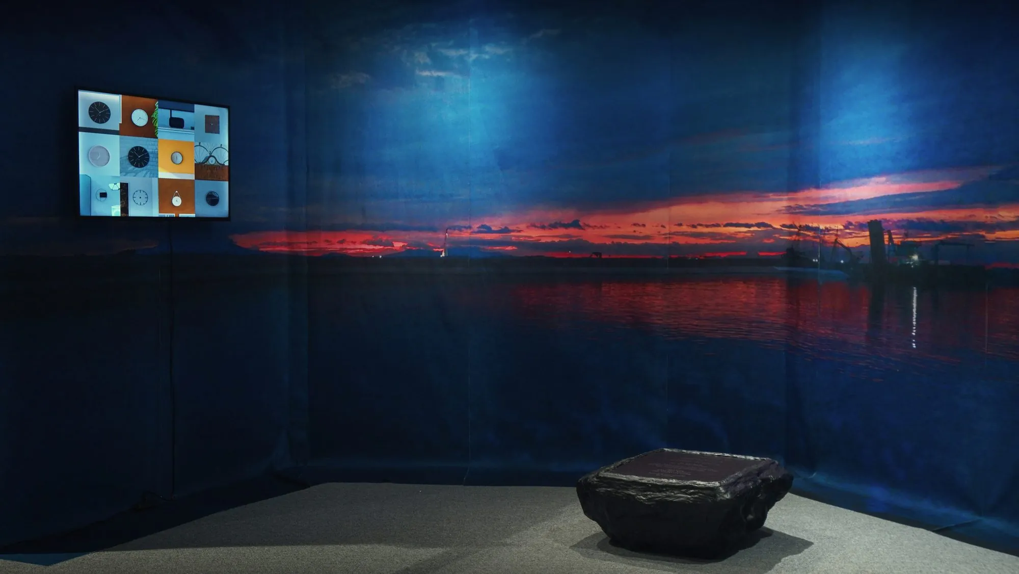
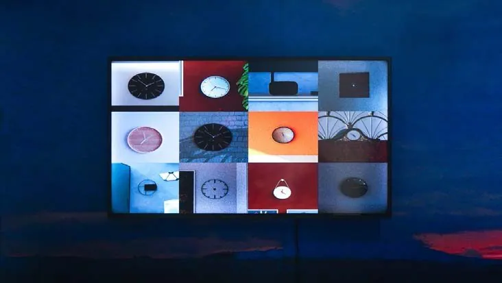
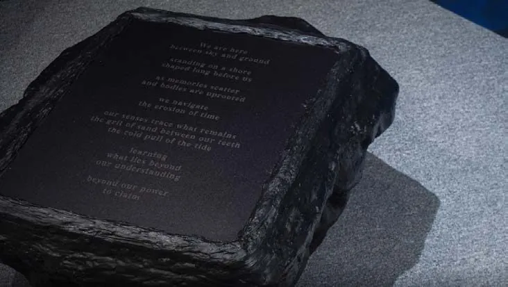
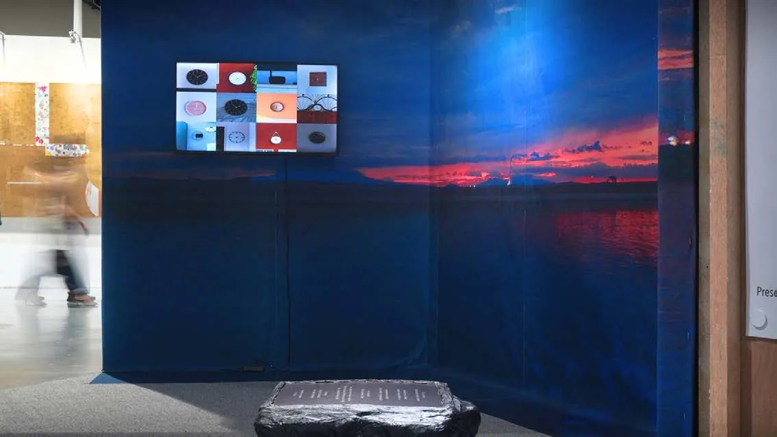
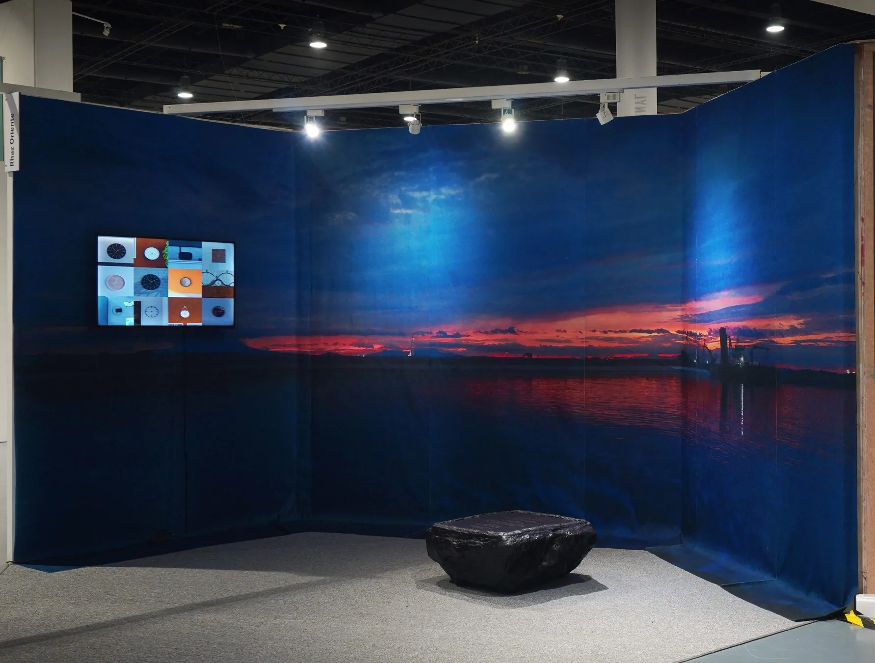
In Broken Line, a sunset over the bay is printed across seven fabric panels wrapped around a corner. Lower down, where the sea begins, the 1972 satellite imagery and the bathymetry are laid into the photograph, so the seabed shows through the water. The seams between the panels cut the horizon into seven parts. Inscribed in Black is a low black resin form, its upper surface engraved with a text Oriente wrote about what is taken for granted and what is not ours to claim. Various Erosions and Erasers is a three-minute video of clocks she filmed around Manila, in restaurants, buildings and wherever she was allowed to shoot. Twelve of them play together in a grid, with the numbers removed in editing and only the hands moving.
Details
Print on fabric, resin and acrylic glass sculpture, single-channel video. Dimensions variable.
Solo presentation, ALT Art Discoveries Sector,
presented by Underground Gallery
SMX Convention Center, Pasay, Philippines
Feb 13–15, 2026